[unable to retrieve full-text content]
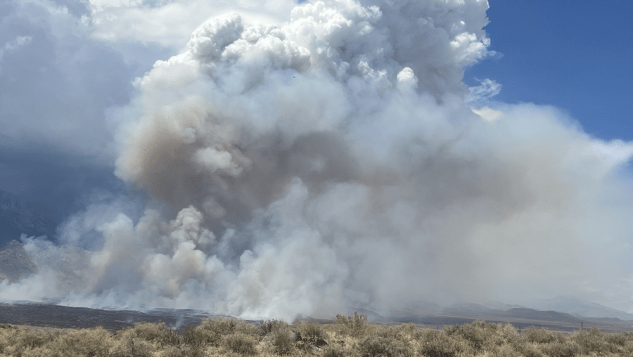
Last updated: --- The type of incident is Wildfire and involves the following unit(s) Superior National Forest. --- State: Minnesota --- Coordinates: Latitude: 47° 58 54.6 Longitude: 92° 10 25.8 --- NOTE: All fire perimeters and points are approximations. --- Incident Overview: The Buck Fire was detected in the afternoon on June 7, 2026 and is located 1/4 mile north of Buck Lake within the Boundary Waters Canoe Area Wilderness.