
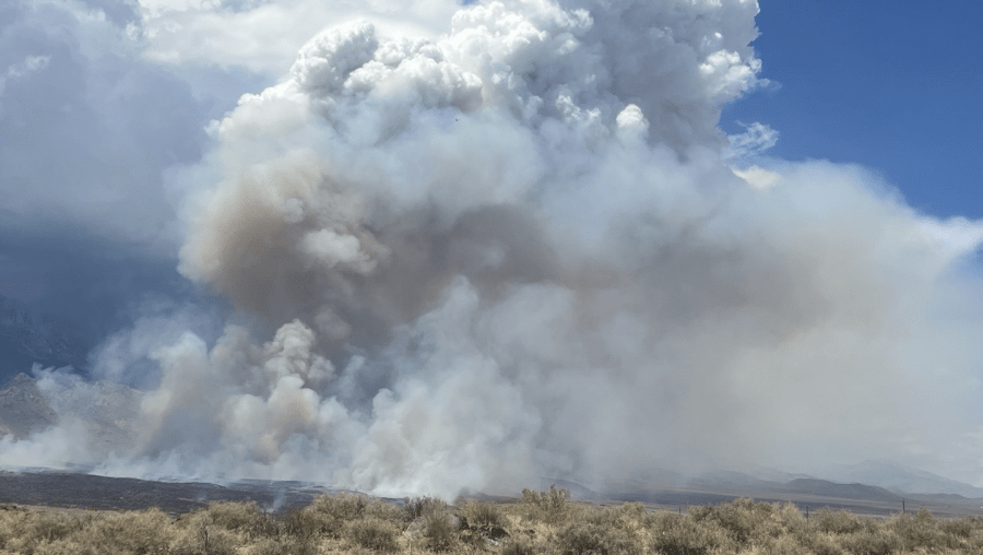
INYO COUNTY, Calif. (KSEE/KPGE) – The fire burning just east of Kings Canyon National Park has more than tripled in size since last night.
According to Cal Fire, the Rock Fire, which ignited around 7:30 p.m. Monday, is 5% contained and 5,500 acres large as of 2:40 p.m.
Crews say strong winds are expected to continue pushing the fire to the north toward Birch Creek, Fish Springs, Tinemaha Campground, Baxter Ranch, and the Perlite Mine areas.

Due to these conditions, additional evacuation orders have been issued for the area around Aberdeen; those zones include:
- ICU-117-A
- ICU-117-B
- ICU-123-A
- ICU-123-C
- ICU-123-D
- ICU-127
- ICU-129
- ICU-131-C
- ICU-137-D
Evacuation warnings are also in place for zones:
- ICU-131-B
- ICU-141
- ICU-143
The cause of the fire is under investigation; however, according to Cal Fire, the area has recently been and continues to be impacted by lightning and thunderstorms.