Related Articles
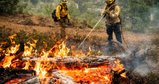
The 70,000-plus-acre Detwiler fire burning near Yosemite National Park west of Mariposa can bee seen from a National Oceanic and Atmospheric Administration satellite above. The satellite imagery shows wind pushing the smoke. … Click to Continue »
Wanna Comment?